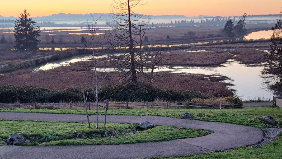
While snow in the hills of Snohomish County offers some great winter snowshoeing options, it’s nice to know there are plenty of places closer to home where regular old trail shoes are all you need for a good winter walk. Assuming, of course, that the weather is at least mildly cooperative. If you enjoy wildlife, winter birding and wide-open spaces, it doesn’t get much better than the paths along the delta and estuary of the Snohomish River between Everett and Marysville.
Since the 1990s, trails have expanded along these shores for quite a distance, most recently along the Ebey Waterfront and the various sloughs, as noted below. Most paths are paved, flat and stroller and wheelchair-friendly. If any flooding happens to be in the forecast, save these walks for later since high water is not something to be messed with. There is plenty of room to walk along the sloughs, but stay back from the slick, muddy banks.
Here’s a quick rundown of the many paths that often run close to the river channels (or sloughs) and the greater Snohomish River estuary. Note that waterfowl hunting may occur in some nearby areas in the winter months. However, popular trails open to the public are generally off-limits to hunting. Signs are typically posted if hunting season is underway nearby.
Ebey Waterfront West
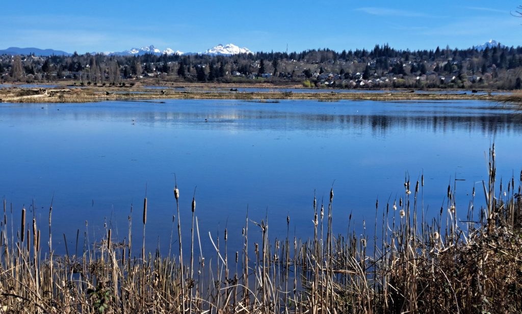
Becoming better known these days by its Native American name, the Qwuloolt Estuary has been undergoing restoration since 2015, with the breaching of dikes that had existed for more than a century. A once ecologically rich tidal marsh spanning hundreds of acres just south of Marysville was diked, ditched and drained long ago for farming. Today, it’s all returning to that ancient, fish-friendly beginning. Qwuloolt is the indigenous Lushootseed term for “marsh.”
You can get a good look at some of this work, led by the Tulalip Tribes, by walking the 1.5-mile-long paved path that generally follows the north bank of Ebey Slough. Find the trailhead parking area in Marysville on the south side of 1st Street just west of State Avenue (four blocks east of I-5 Exit 199). The path heads left beneath an overpass, then briefly around a commercial area before opening up into pure nature. The walk ends at an overlook.
On a clear day, the view extends to Mount Baker, Mount Rainier and the North Cascades. Abundant ducks and geese are frequent visitors. The longer-term vision is to extend the path around the north end of the Qwuloolt to link up with the east portion of the trail, described next.
Ebey Waterfront East
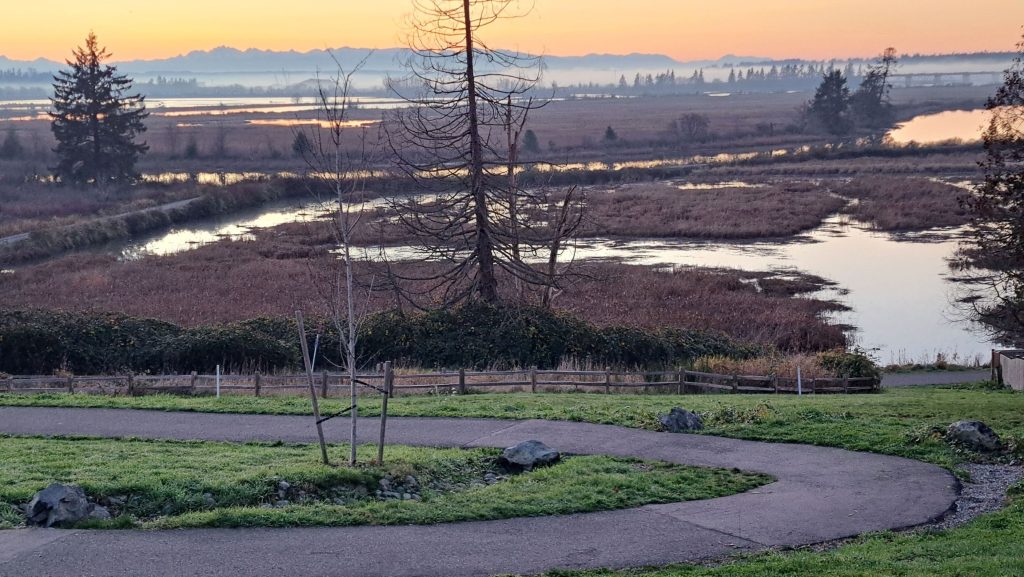
An easy follow-up to Ebey West, this similar path sidles along the east shore of the Qwuloolt Estuary. Ebey Waterfront East is also paved and perhaps more kid-friendly. Like the West path, it’s also bikable. Instead of following Ebey Slough, however, you’ll walk around the perimeter of the estuary to excellent views of a sprawling watery landscape. There should be lots of birdlife here as well.
Access the trail at Harborview Park or Olympic View Park, a couple of miles southeast of downtown Marysville, via Sunnyside Boulevard. From Harborview Park, walk past the play area on the obvious path toward the water. Curve left for the more interesting walk as you pass beneath a residential area. You might notice that traffic noise is much lower here compared to the west side, which is much closer to I-5. The path ends at a cozy overlook of Ebey Slough, less than a mile from the start.
Just before the overlook, a path on the left zigzags uphill to an excellent viewpoint from Olympic View Park. It’s a fine perch to watch the sunset. And the view of the Olympic Mountains skyline is well worth it when the skies are clear. An interpretive sign names all the peaks along the skyline. The walk could also begin here, but you’ll have to contend with the hill climb (not that hard).
Langus Riverfront and Spencer Island
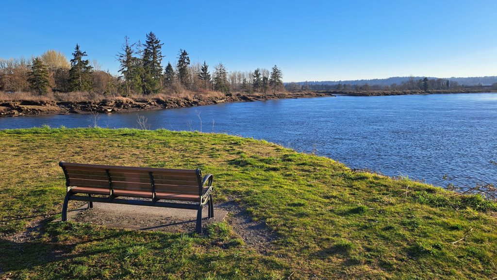
The Langus Riverfront Trail is perhaps the best-known of the bunch, having been around much longer than those above. It’s an excellent 2.2-mile walk each way or can be completed as a three-mile loop. Begin at Langus Riverfront Park next to the Snohomish River, accessed from the east side of SR 529. Simply walk south on the paved path, keeping the river on your right. When you reach the Spencer Island Bridge, walk left on the narrow road for the loop or cross the steel bridge over Union Slough to check out the island.
The paths on Spencer Island can be rough, brushy or even flooded, depending on conditions at the time. Your best bet is to amble right briefly to a long footbridge with a view (or as far as conditions allow). You might notice some old boardwalk relics sinking into the marsh. Further restoration work is also planned here, so stay tuned for improvements to the walking paths.
If returning by way of the narrow road, look for the paved path heading north along the Everett wastewater treatment ponds. This leads to better walking and wildlife viewing within the Smith Island Wildlife Area. A more active hunting area exists to the north. You can also access the Smith Island trailhead at the end of 12th Street NE, a little north of Langus Riverfront Park.
Ken Wilcox has been hiking Snohomish County trails for decades. He is the author of “Hiking Snohomish County“—140 Hikes and Walks from the North Cascades to the Salish Sea. The new 2024 edition is available online and at many local independent bookstores and gift shops.


