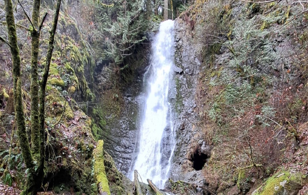
Yes, it’s true. Hiking in the rain in Snohomish County is not the most ridiculous thing to do when it’s looking gloomy outside. Notice we didn’t say downpours, typhoons or atmospheric rivers. If it’s pouring kittens and puppies out there or really windy, then it’s probably smart to stay home and hunker down. We can just let the sun and clouds sort out their disagreements.
If it’s not so stormy, here are three great hikes to enjoy while deploying your bumbershoot in the rain around Snohomish County.
Historic Arlington
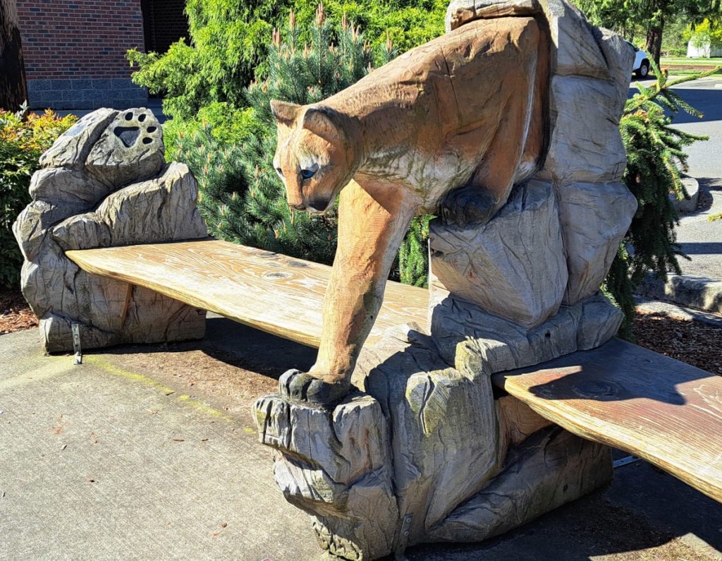
The historic downtown areas of many smaller communities in Snohomish County can be fun to explore on a rainy day. They are often ready-made with friendly cafes, coffee shops, gift shops, galleries, museums and the like—places where those on foot can easily duck out of the weather if it gets to be too much. Historic downtown Arlington is an excellent example.
For this easy hike, take I-5 Exit 208 and follow SR 530 east into town. At the traffic light at SR 9, turn left, then take the first right onto Burke Avenue. In a block, you’ll cross the Centennial Trail. Park along the curb nearby. Then, walk the trail north less than a quarter mile to the old railroad bridge.
From the bridge, you can view the merging, turbulent waters of the North and South Forks of the Stillaguamish River. Their headwaters are among those snowy mountains of the North Cascades visible from I-5 on a clear day. Also, notice Haller Park immediately downstream of the bridge. If you mosey over to the opposite side of this city park (this is optional), you’ll find a mile of easy loop trails among wetlands.
Otherwise, return to Burke Avenue and continue south along the Centennial Trail to complete a 1.4-mile downtown loop. At 4th Street, look left for the stunning mural of the old mining town of Monte Cristo. It’s worth walking over for a closer look. (For a bit more of the story and a historic photo of Monte Cristo, see Heather Winkler’s 2023 article on “Gold in the Hills . . .” on SnohomishTalk.)
What’s the Monte Cristo connection to Arlington? Well, soon after the discovery of gold in 1889, ore was transported via early wagon roads and a railroad from Darrington to Arlington en route to the Everett smelter. A couple of years later, a new Monte Cristo Railway was built by way of Granite Falls, which provided a far more cost-efficient route. A few years after that, however, the gold rush was over, and logging of the old-growth forests would rule the day. Interpretive signs along the trail share some of this colorful history.
Your rainy-day hike along the Centennial Trail also passes a variety of urban art, gardens, much green space, and even a labyrinth the kids are sure to enjoy. Just beyond at Maple Street, walk left a few paces to Olympic Avenue, Arlington’s main drag. Head left to take in the historic buildings, quaint shops and eateries, as well as Legion Memorial Park, along with a sculpture or two and more eye-catching murals.
The last mural, just beyond 5th Street, is also quite captivating. It’s a nostalgic depiction of Arlington from way back in the so-called “good ol’ days” nearly a century ago. Lucky for us, the town has preserved its historic core both in a mural and real life.
At the next corner, Division Street, turn left to return to the Centennial Trail and your starting point.
Wallace Falls
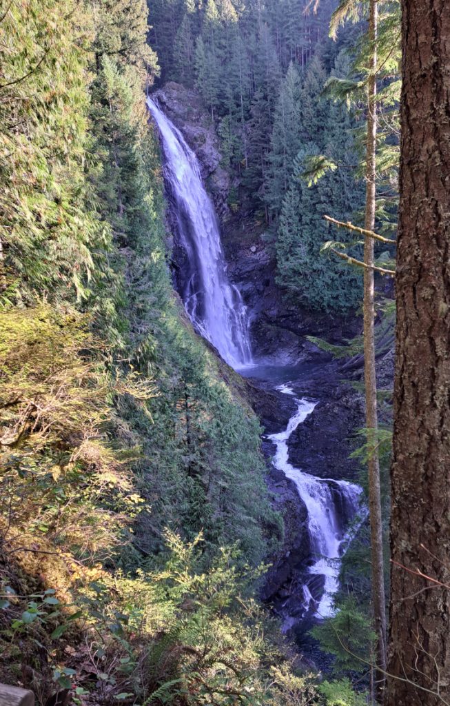
It’s hard to beat popular Wallace Falls near Gold Bar for a scenic, energetic hike after a good storm. Spring and summer can be crazy-busy here, though somewhat less so in the fall and winter. Pleasant, dry days can still draw a crowd any time of year. For more elbow room, go midweek in less-than-perfect weather. The falls are even worth a trek on milder winter days unless there’s lingering snow or ice on the trail.
From SR 2 at milepost 28 in Gold Bar, follow the signs north for 1.5 miles to Wallace Falls State Park. You’ll need to pay for a Discover Pass (day or annual) to park. Check out the trailhead information sign and trail map, then head up the Woody Trail to the Lower, Middle or Upper Falls. Dogs must be leashed (strictly enforced).
The entire hike is scenic, but the best view is below the spectacular 265-foot-high Middle Falls, a 2.2-mile hike each way. Beyond there, the trail steepens and can get a little rough. You’ll also notice the signs and maps pointing to another trail that follows an old railroad grade back toward the parking area. Connecting paths lead briefly uphill to reach the grade for a more gradual return and a 5.5-mile loop.
On the way home, don’t forget to check out the many small-town choices in Gold Bar or Sultan for a quick meal, snack or beverage.
Explorer Falls
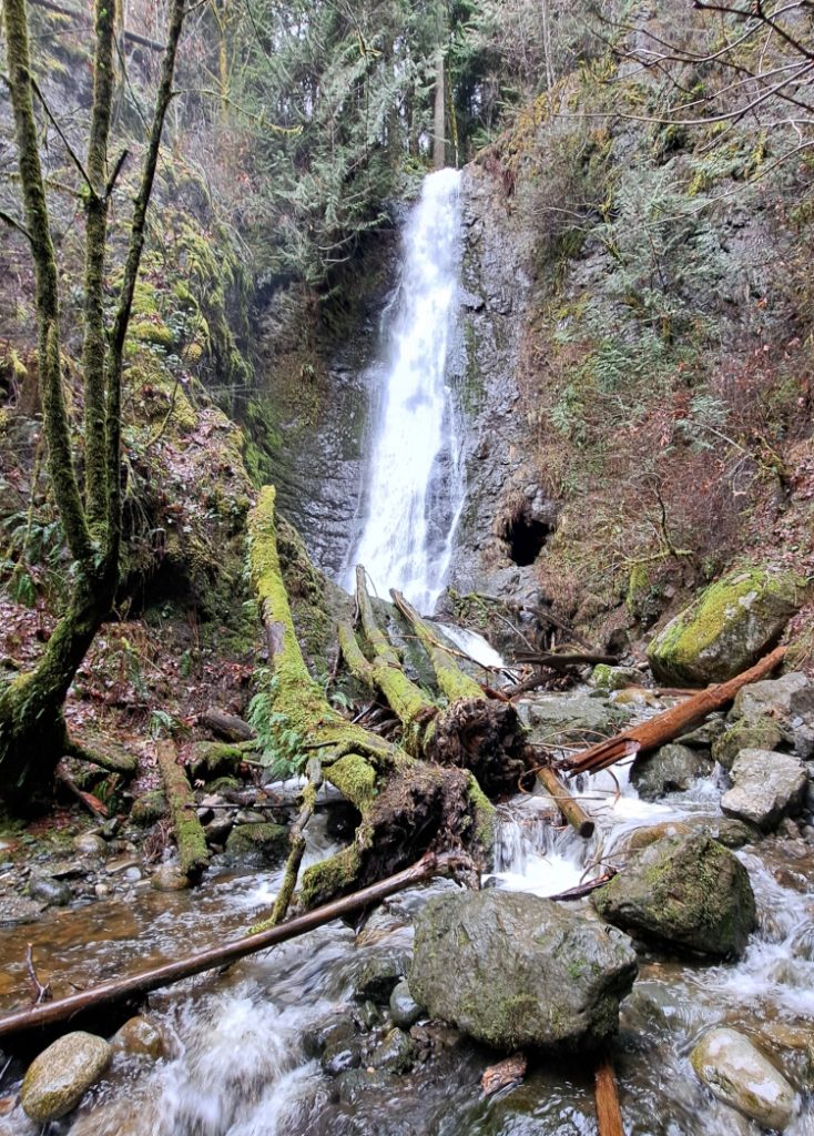
This family-friendly hike east of Lake Roesiger mostly follows a logging road on land managed by the Washington Department of Natural Resources (DNR). The area is managed for timber harvest but still offers a pleasant fall-winter hike to an impressive waterfall. (The area may be closed at times if logging activity happens to be underway.) A day or annual Discover Pass is required.
Plan on a five-mile round-trip hike with a modest elevation gain of around 400 feet. Since the hike passes through both wooded and open areas, it would be wise to dress warm and bring along both a raincoat and rain pants, plus an umbrella.
Make your way to South Lake Roesiger Road and the country store at the intersection with Monroe Camp Road. Follow the latter for about 1.1 miles to a fork and keep left. In 0.6 miles more, look for the DNR gate on the left. Park here, but don’t block the gate (space is limited). And don’t drive up the road if the gate happens to be open. If you do, there is a good chance of getting locked in!
Instead, walk up the hill and follow this forest road for about two miles to an intersection; turn right. After a few more minutes of walking, you should clearly hear Eagle Creek and the falls nearby. Watch for the obvious short path on the left leading to the creek’s edge and a good view of the scenic waterfall from just downstream. Return the way you came. (Some maps may show a former trail to the falls that was closed years ago. Beware that the old route is entirely impassable and is considered trespassing.) By the way, if the little store at Lake Roesiger is open, stop in for a warmup!
Ken Wilcox has been hiking Snohomish County trails for decades. He is the author of “Hiking Snohomish County“—140 Hikes and Walks from the North Cascades to the Salish Sea. The new 2024 edition is available online and at many local independent bookstores and gift shops.


